clma
清除当前基于 axesm 的地图
说明
示例
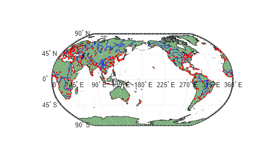
阅读并展示世界地图上的陆地区域、主要湖泊与河流、城市及人口聚居地。
ax = worldmap("World");
setm(ax,"Origin",[0 180 0])

land = readgeotable("landareas.shp");
geoshow(ax,land,"FaceColor",[0.5 0.7 0.5])

lakes = readgeotable("worldlakes.shp");
geoshow(lakes,"FaceColor","blue")

rivers = readgeotable("worldrivers.shp");
geoshow(rivers,"Color","blue")

cities = readgeotable("worldcities.shp");
geoshow(cities,"Marker",".","Color","red")
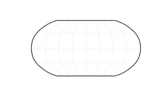
从当前基于 axesm 的地图中删除所有显示的地图对象,但保留框架。
clma
阅读并展示世界地图上的陆地区域、主要湖泊与河流、城市及人口聚居地。
ax = worldmap("World");
setm(ax,"Origin",[0 180 0])

land = readgeotable("landareas.shp");
geoshow(ax,land,"FaceColor",[0.5 0.7 0.5])

lakes = readgeotable("worldlakes.shp");
geoshow(lakes,"FaceColor","blue")

rivers = readgeotable("worldrivers.shp");
geoshow(rivers,"Color","blue")

cities = readgeotable("worldcities.shp");
geoshow(cities,"Marker",".","Color","red")

从当前坐标区中删除地图定义,但保留投影到坐标区上的所有对象。
clma purge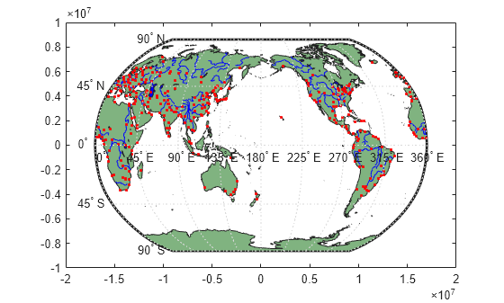
版本历史记录
在 R2006a 之前推出