Get Started with Multi-Sensor Labeler
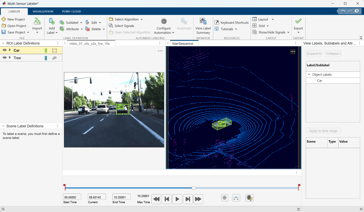
R2026bThe Multi-Sensor Labeler app enables you to interactively label ground truth data across multiple sensor types, including images, videos, and point cloud signals. Use this app to create and manage label definitions, annotate data using manual and automated labeling tools, and export ground truth data for training perception algorithms.
The Multi-Sensor Labeler consolidates the capabilities of the Ground Truth Labeler and Lidar Labeler apps into a single, unified labeling environment. It supports labeling multiple signals from different sensor types simultaneously, enabling efficient annotation of multi-modal driving and robotics datasets.
Use these steps to label data using the Multi-Sensor Labeler app.
Load and View Multi-Sensor Data — Import video, and point cloud signals into the Multi-Sensor Labeler app and configure visualization settings.
Create Labels and Label Multi-Sensor Data — Define shape labels such as rectangles, rotated rectangles, lines, and cuboids, and semantic labels such as pixels and semantic point labels, and use them to annotate signal frames.
Automate Labeling for Multi-Sensor Data — Accelerate labeling using built-in and AI-assisted custom automation algorithms.
Export Multi-Sensor Ground Truth and Create Training Data — Export labeled data as a
groundTruthMultiSensorobject and generate training data for deep learning workflows.