Labeling, Segmentation, and Detection
Label, segment, detect, and classify objects in point cloud data using deep learning
and geometric algorithms
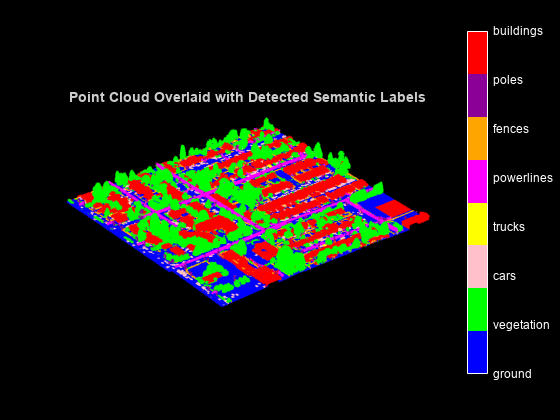
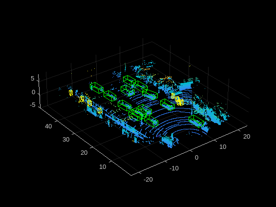
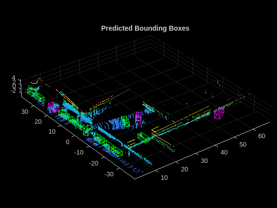
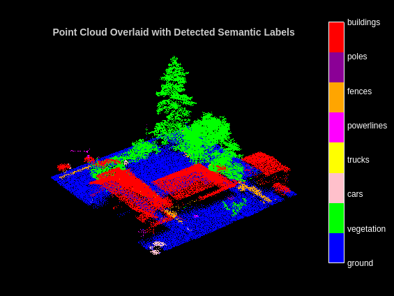
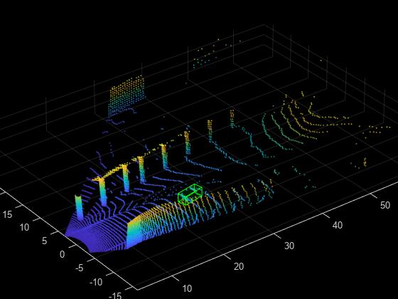
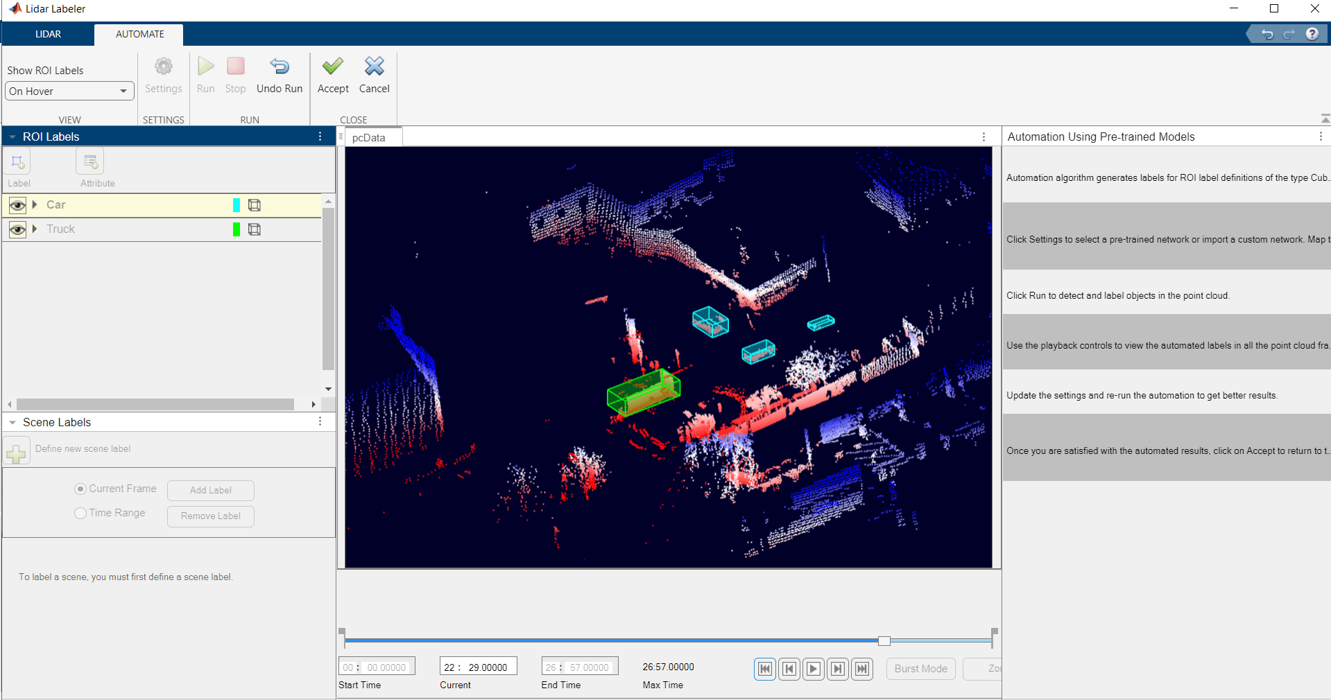
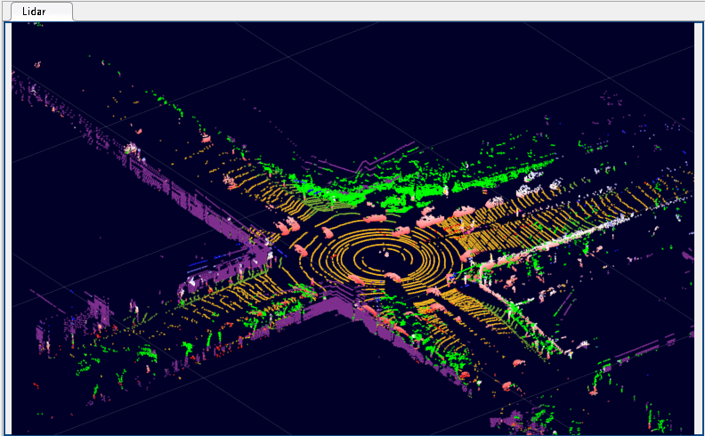
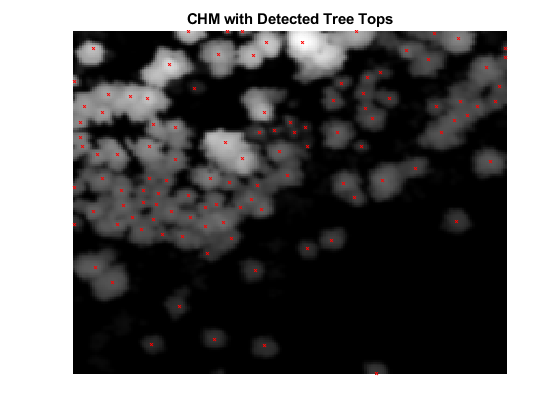
The toolbox enables you to label 3-D point cloud data, which you can use as training data for deep learning models. The toolbox also provides geometric algorithms and pretrained deep learning networks to segment, detect, and classify objects in point clouds. These networks include RandLA-Net, PointNet++, PointPillars, SqueezeSegV2, Voxel R-CNN, and Segment Anything Model (SAM). You can use these algorithms and networks in applications such as transportation, forestry, agriculture, construction, and mining.
To learn how to process point clouds using deep learning, see Deep Learning with Point Clouds.
Categories
- Labeling
Interactive point cloud labeling for semantic segmentation, object detection, and classification
- Segmentation
Segment point cloud data into clusters using deep learning algorithms
- Object Detection and Classification
Detect and classify objects in lidar point cloud data using deep learning networks
