本页面提供的是上一版软件的文档。当前版本中已删除对应的英文页面。
与地图交互
在地图上交互式选择位置
使用这些函数在地图上交互式地选择位置。例如,您可以确定位置的坐标、为位置添加文本,或为形状对象添加数据提示。
函数
主题
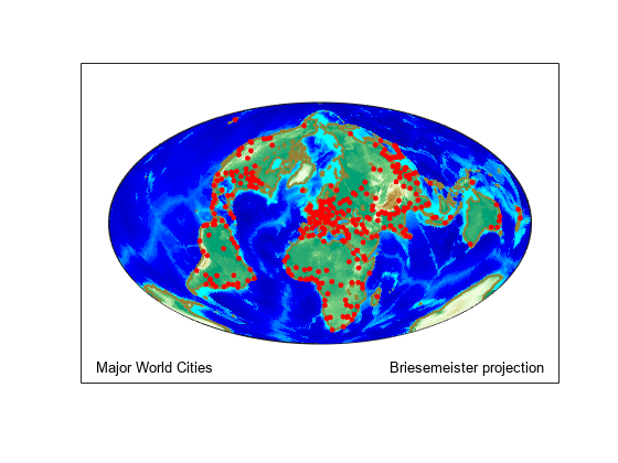
- Interactively Identify Geographic Locations
Find the latitude and longitude coordinates of locations on a map by interactively selecting the locations.
- Interactively Display Text on Maps
Display text on a map by interactively selecting the locations for the text.
- Add Data Tips to Point, Line, and Polygon Shapes
Create customized data tips on point, line, and polygon shapes created using the
geoplotfunction. (自 R2025a 起) - Work with Objects by Name
Objects on
axesm-based maps often have names with descriptive tags. Manage names and control the display of objects with similar names.
精选示例
Create Interactive Map for Selecting Point Features
Get the latitude and longitude coordinates of interactively selected points on a map.