campos
Syntax
Description
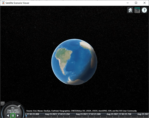
campos( displays the latitude,
longitude, and ellipsoidal height of the camera as a three-element vector.
viewer)satelliteScenarioViewer objects use the WGS84 reference ellipsoid.
Examples
Input Arguments
Output Arguments
Version History
Introduced in R2021a
See Also
Objects
Functions
1 Alignment of boundaries and region labels are a presentation of the feature provided by the data vendors and do not imply endorsement by MathWorks®.

