segmentGroundFromLidarData
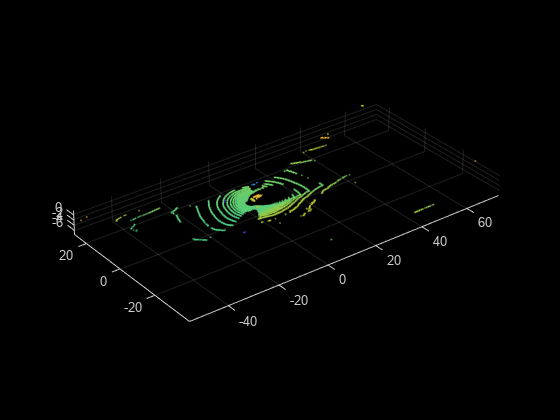
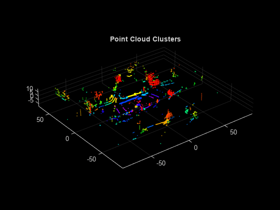
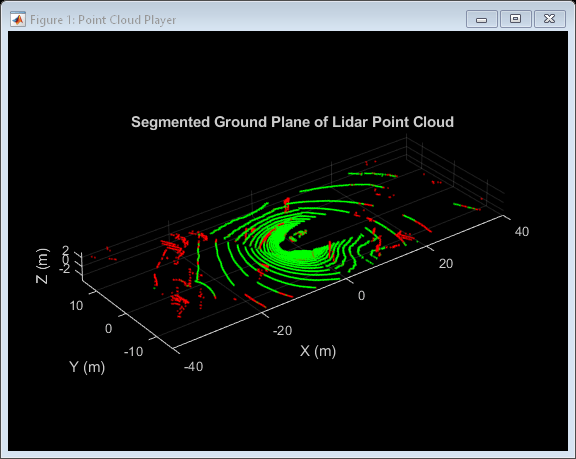
Segment ground points from organized lidar data
Syntax
Description
groundPtsIdx = segmentGroundFromLidarData(ptCloud)ptCloud, into ground and
nonground parts. The lidar sensor must be mounted horizontally such that all ground
points are observed in the lidar scan closest to the sensor.
To use this function, the ground plane must be along the
x-y plane. You can use the pctransform to rotate the sensor
data before using segmentGroundFromLidarData.
groundPtsIdx = segmentGroundFromLidarData(ptCloud,Name=Value)segmentGroundFromLidarData(ptCloud,ElevationAngleDelta=5)
Examples
Input Arguments
Name-Value Arguments
Output Arguments
References
[1] Bogoslavskyi, I. “Efficient Online Segmentation for Sparse 3D Laser Scans.” Journal of Photogrammetry, Remote Sensing and Geoinformation Science. Vol. 85, Number 1, 2017, pp. 41–52.
Extended Capabilities
Version History
Introduced in R2018b


