Planning and Control
Vehicle costmaps, optimal RRT* path planning, lateral and longitudinal controllers
Automated Driving Toolbox™ provides several features that support path planning and vehicle control.
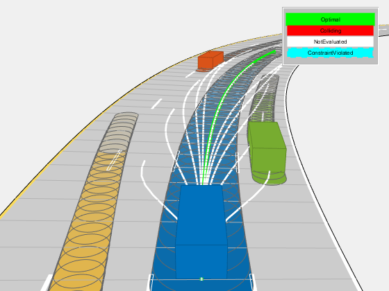
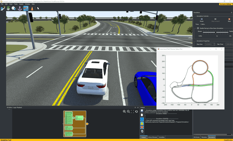
To plan driving paths, you can use a vehicle costmap and the optimal rapidly exploring random tree (RRT*) motion-planning algorithm. You can also check the validity of the path, smooth the path, and generate a velocity profile along the path.
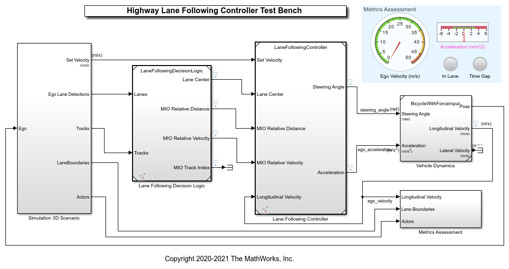
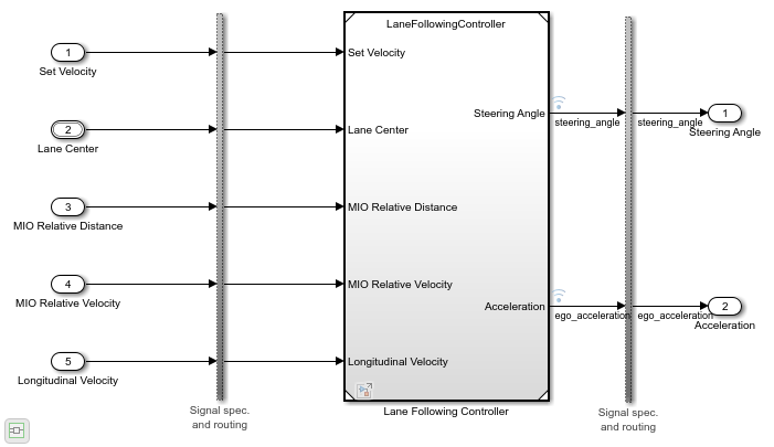
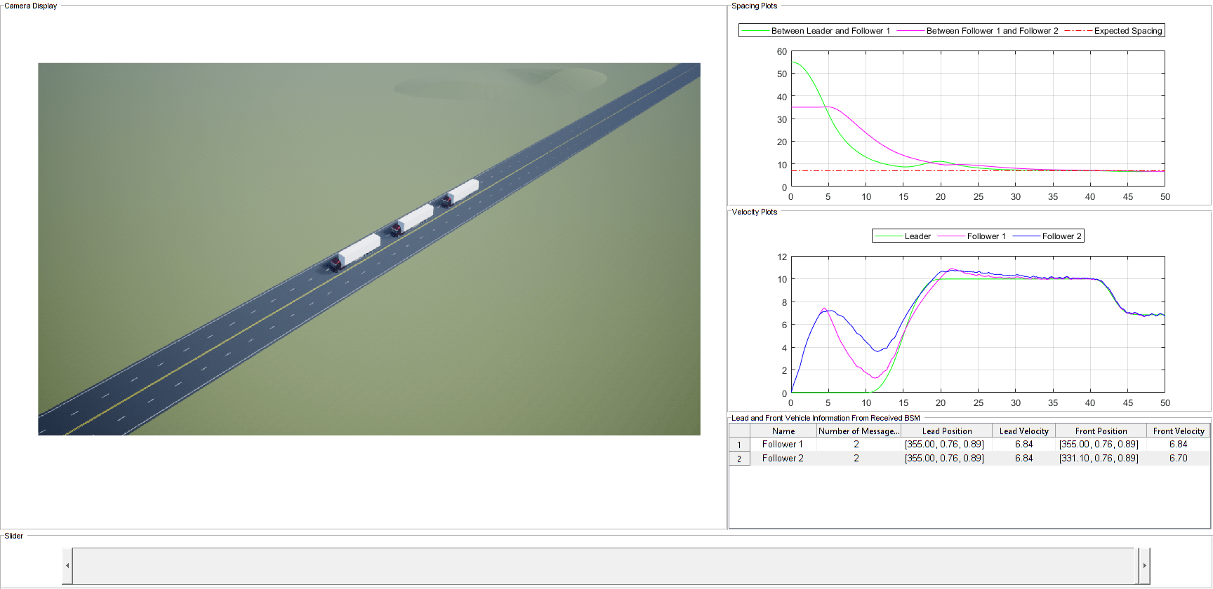
To design vehicle control systems, you can use lateral and longitudinal controllers that enable autonomous vehicles to follow a planned trajectory.
Functions
Blocks
| Path Smoother Spline | Smooth vehicle path using cubic spline interpolation |
| Velocity Profiler | Generate velocity profile of vehicle path given kinematic constraints |
| Lateral Controller Stanley | Control steering angle of vehicle for path following by using Stanley method |
| Longitudinal Controller Stanley | Control longitudinal velocity of vehicle by using Stanley method |
Topics
- Lateral Control Tutorial
Control the steering angle of a vehicle following a planned path and perform lane changing.
- Code Generation for Path Planning and Vehicle Control
Generate C++ code for a path planning and vehicle control algorithm, and verify the code using software-in-the-loop simulation.
