Satellite Mission Analysis
R2026bsatelliteScenario
object; use functions to support Aerospace Blockset™ spacecraftGenerate satellite scenarios to model and visualize satellites in orbit and perform
additional analyses, such as computing access with ground stations. You can directly
call satelliteScenario and satelliteScenarioViewer
objects. To create objects for other classes, use their object creation functions (for
example, satellite
for a Satellite object and groundStation for a GroundStation object).
Objects
satelliteScenario | Satellite scenario |
satelliteScenarioViewer | Create viewer for satellite scenario |
Access | Access analysis object belonging to scenario |
ConicalSensor | Conical sensor object belonging to satellite scenario |
CoordinateAxes | Coordinate axes triad graphic object (Since R2023a) |
Eclipse | Eclipse analysis object belonging to satellite, ground station, or platform (Since R2023b) |
FieldOfView | Field of view object belonging to conical sensor |
Gimbal | Gimbal object belonging to satellite scenario |
Path | Path graphic object corresponding to platform, satellite, or Moon in scenario (Since R2024a) |
GroundStation | Ground station object belonging to satellite scenario |
Satellite | Satellite in satellite scenario |
GroundTrack | Ground track object belonging to satellite, platform, or Moon in scenario |
Platform | Platform in satellite scenario (Since R2024a) |
Aero.satelliteScenario.NumericalPropagatorOptions | Numerical orbit propagator options (Since R2024a) |
Aero.satelliteScenario.PhysicalProperties | Physical properties of satellite object (Since R2024a) |
Aero.satellitescenario.CentralBodyOptions | Central body options used by numerical orbit propagator (Since R2025a) |
Orbit | Orbit visualization satellite or CentralBodyOptions object (Since R2024a) |
Aero.spacecraft.NumericalPropagatorOptions | Numerical orbit propagator options used by
propagateOrbit (Since R2024b) |
Aero.spacecraft.PhysicalProperties | Physical properties of spacecraft used by numerical orbit propagator (Since R2024b) |
Aero.spacecraft.ThirdBodyOptions Properties | Third body options used by numerical orbit propagator (Since R2026a) |
Aero.spacecraft.CentralBodyOptions | Central body options used in propagateOrbit (Since R2025a) |
Aero.spacecraft.ThirdBodyProperties | Third body properties (Since R2026a) |
geoTrajectory | Waypoint trajectory in geodetic coordinates |
Functions
Object Creation
access | Add access analysis objects to satellite scenario |
impulsiveManeuver | Add, replace, or remove impulsive maneuvers (Since R2026a) |
conicalSensor | Add conical sensor to satellite scenario |
coordinateAxes | Visualize coordinate axes triad of satellite scenario assets (Since R2023a) |
eclipse | Add eclipse analysis object to satellite, ground station, or platform (Since R2023b) |
fieldOfView | Visualize field of view of conical sensor |
groundStation | Add ground station to satellite scenario |
gimbal | Add gimbal to satellite, platform, or ground station |
groundTrack | Add ground track object to satellite, platform or Moon in scenario |
satellite | Add satellites to satellite scenario |
walkerDelta | Create Walker-Delta constellation in satellite scenario (Since R2022a) |
walkerStar | Create Walker-Star constellation in satellite scenario (Since R2023a) |
physicalProperties | Retrieve or modify physical properties of satellite object (Since R2024a) |
numericalPropagator | Add or modify satellite scenario numerical orbit propagator options (Since R2024a) |
centralBodyOptions | Modify central body options used in satellite scenario (Since R2025a) |
orbit | Visualize orbit in satellite scenario (Since R2024a) |
platform | Add platforms to satellite scenario (Since R2024a) |
thirdBodyOptions | Modify third body options (Since R2026a) |
Satellite
access | Add access analysis objects to satellite scenario |
aer | Calculate azimuth angle, elevation angle, and range of one asset with respect to another |
coordinateAxes | Visualize coordinate axes triad of satellite scenario assets (Since R2023a) |
eclipseIntervals | Calculate intervals of solar occultation (Since R2023b) |
eclipsePercentage | Calculate percentage of time when solar occultation occurs (Since R2023b) |
eclipseStatus | Calculate status of solar occultation (Since R2023b) |
groundTrack | Add ground track object to satellite, platform or Moon in scenario |
orbitalElements | Orbital elements of satellites in scenario |
pointAt | Point satellite or gimbal at target |
states | Obtain position and velocity of satellite or platform |
Ground Station
access | Add access analysis objects to satellite scenario |
aer | Calculate azimuth angle, elevation angle, and range of one asset with respect to another |
coordinateAxes | Visualize coordinate axes triad of satellite scenario assets (Since R2023a) |
eclipseIntervals | Calculate intervals of solar occultation (Since R2023b) |
eclipsePercentage | Calculate percentage of time when solar occultation occurs (Since R2023b) |
eclipseStatus | Calculate status of solar occultation (Since R2023b) |
updateMask | Updates visibility mask (Since R2025a) |
Conical Sensor
access | Add access analysis objects to satellite scenario |
aer | Calculate azimuth angle, elevation angle, and range of one asset with respect to another |
coordinateAxes | Visualize coordinate axes triad of satellite scenario assets (Since R2023a) |
fieldOfView | Visualize field of view of conical sensor |
Gimbals
coordinateAxes | Visualize coordinate axes triad of satellite scenario assets (Since R2023a) |
gimbalAngles | Steering angles of gimbal |
pointAt | Point satellite or gimbal at target |
Access Analysis
accessIntervals | Intervals during which access status is true |
accessPercentage | Percentage of time when access exists between first and last node in access analysis |
accessStatus | Status of access between first and last node defining access analysis |
Visualization
advance | Move simulation forward by one sample time (Since R2022a) |
hide | Hide satellite scenario entity from viewer |
delete | Delete satellite scenario entity from viewer (Since R2026b) |
play | Play satellite scenario simulation results on viewer |
restart | Restart simulation from beginning (Since R2022a) |
show | Show object in satellite scenario viewer |
Viewer
camheading | Set or get heading angle of camera for Satellite Scenario Viewer |
camheight | Set or get height of camera for Satellite Scenario Viewer |
campitch | Set or get pitch angle of camera for Satellite Scenario Viewer |
campos | Set or get position of camera for Satellite Scenario Viewer |
camroll | Set or get roll angle of camera for Satellite Scenario Viewer |
camtarget | Set camera target for Satellite Scenario Viewer |
hideAll | Hide all graphics in satellite scenario viewer |
showAll | Show all graphics in viewer |
Platform applications
access | Add access analysis objects to satellite scenario |
aer | Calculate azimuth angle, elevation angle, and range of one asset with respect to another |
conicalSensor | Add conical sensor to satellite scenario |
eclipse | Add eclipse analysis object to satellite, ground station, or platform (Since R2023b) |
gimbal | Add gimbal to satellite, platform, or ground station |
groundTrack | Add ground track object to satellite, platform or Moon in scenario |
coordinateAxes | Visualize coordinate axes triad of satellite scenario assets (Since R2023a) |
path | Visualize platform path in satellite scenario (Since R2024a) |
show | Show object in satellite scenario viewer |
hide | Hide satellite scenario entity from viewer |
states | Obtain position and velocity of satellite or platform |
Map Data
addCustomBasemap | Add custom basemap (Since R2022a) |
removeCustomBasemap | Remove custom basemap (Since R2022a) |
ecef2eci | Position and velocity vectors in Earth-centered inertial mean-equator mean-equinox |
eci2ecef | Position, velocity, and acceleration vectors in Earth-centered Earth-fixed (ECEF) coordinate system |
ijk2keplerian | Keplerian orbit elements using position and velocity vectors |
keplerian2ijk | Position and velocity vectors in geocentric equatorial coordinate system of celestial bodies using Keplerian orbit elements |
ommread | Read data from orbit mean-elements message (OMM) file (Since R2024a) |
propagateOrbit | Calculate position and velocity of spacecraft (Since R2024b) |
tleread | Read data from two-line element (TLE) file (Since R2023b) |
aeroReadSpaceWeatherData | Output MAT file of space weather data (Since R2023a) |
fluxSolarAndGeomagnetic | Extract solar flux and geomagnetic field data (Since R2023a) |
decyear | Decimal year calculator |
juliandate | Julian date calculator |
leapyear | Determine leap year |
mjuliandate | Modified Julian date calculator |
tdbjuliandate | Convert from Terrestrial time to Barycentric Dynamical Time (TDB) Julian date |
siderealTime | Greenwich mean and apparent sidereal times |
Topics
- Satellite Scenario Key Concepts
Learn common satellite scenario visualization terms.
- Spacecraft Key Concepts
Define coordinate systems for navigation when modeling with the Aerospace Toolbox software.
- Propagation Methods in Spacecraft Simulation
This section outlines analytical and numerical methods you use to propagate a spacecraft orbit and configure end‑to‑end simulation workflows in the Aerospace Toolbox.
- Optimize a Satellite Constellation While Satisfying Constraints on Ground Station Access
Find minimum-cost satellite constellation able to meet coverage requirements.
- Satellite Scenario Basics
Build complete satellite scenario simulation.
- Model, Visualize, and Analyze Satellite Scenario
Model satellites in orbit, analyze access between the satellites and the ground stations, and visualize the fields of view and ground tracks of the satellites.
- Orbit Propagation Methods
Analyze the motion and dynamics of aerospace vehicles with short-period requirements, boundary line, and altitude contour plots.
Featured Examples
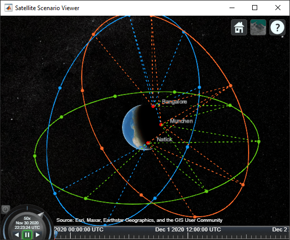
Modeling Satellite Constellations Using Ephemeris Data
Add time-stamped ephemeris data for a constellation of 24 satellites to a satellite scenario for access analysis.
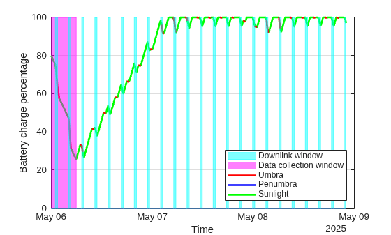
Estimate Satellite Battery Charge State Using Satellite Scenario and Eclipse Analysis
Model and plot your satellite’s battery charge state over time using eclipse and access analysis during data collection and downlink operations.
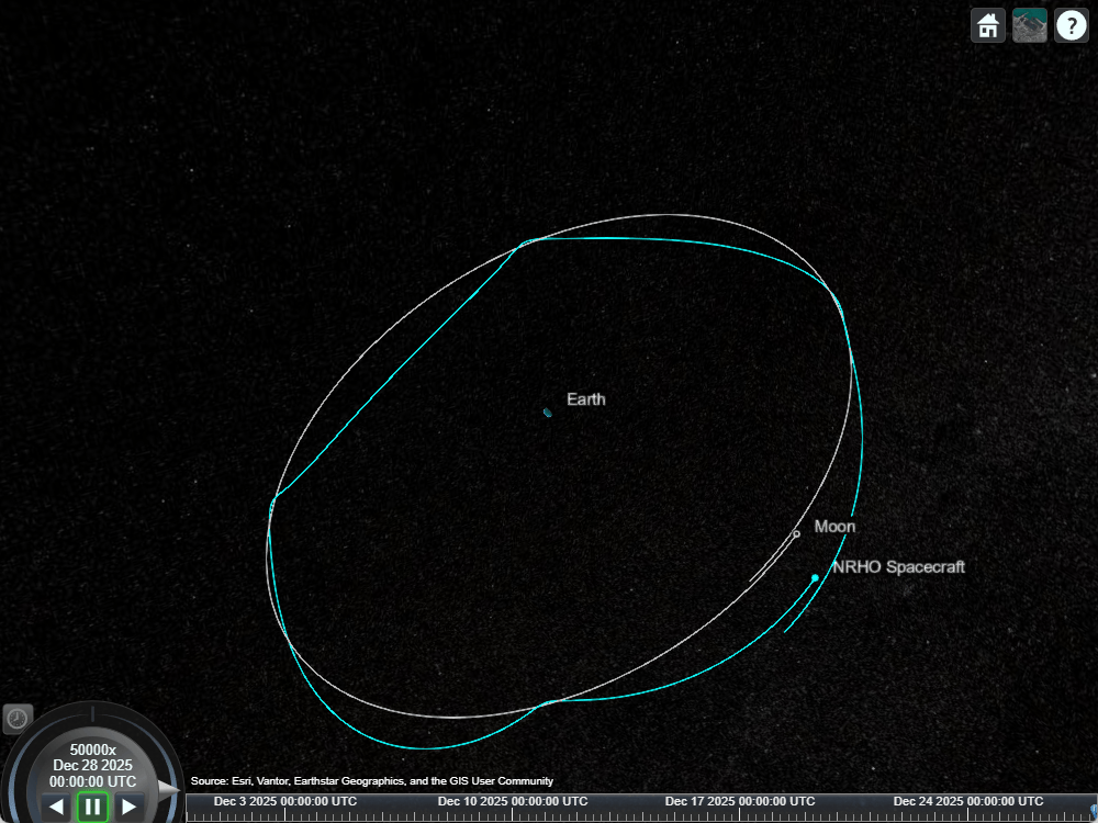
Model a Near Rectilinear Halo Orbit (NRHO) with Satellite Scenario
Design, refine, and visualize a lunar Near‑Rectilinear Halo Orbit using CR3BP dynamics and a high‑fidelity ephemeris model in Satellite Scenario.
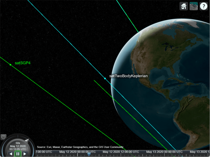
Comparison of Orbit Propagators
Compare the orbits predicted by the Two-Body-Keplerian, Simplified General Perturbations-4 (SGP4) and Simplified Deep-Space Perturbations-4 (SDP4) orbit propagators.
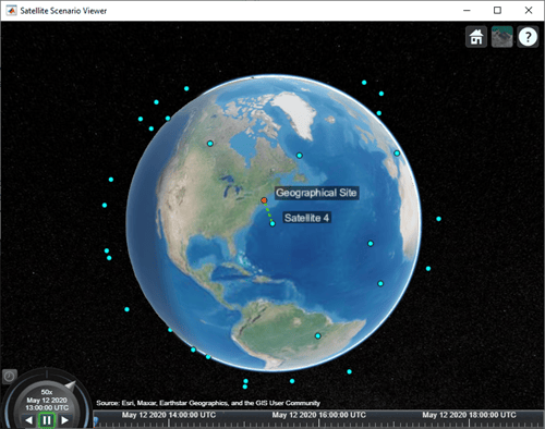
Satellite Constellation Access to Ground Station
Set up access analysis between a ground station and conical sensors onboard a constellation of satellites.
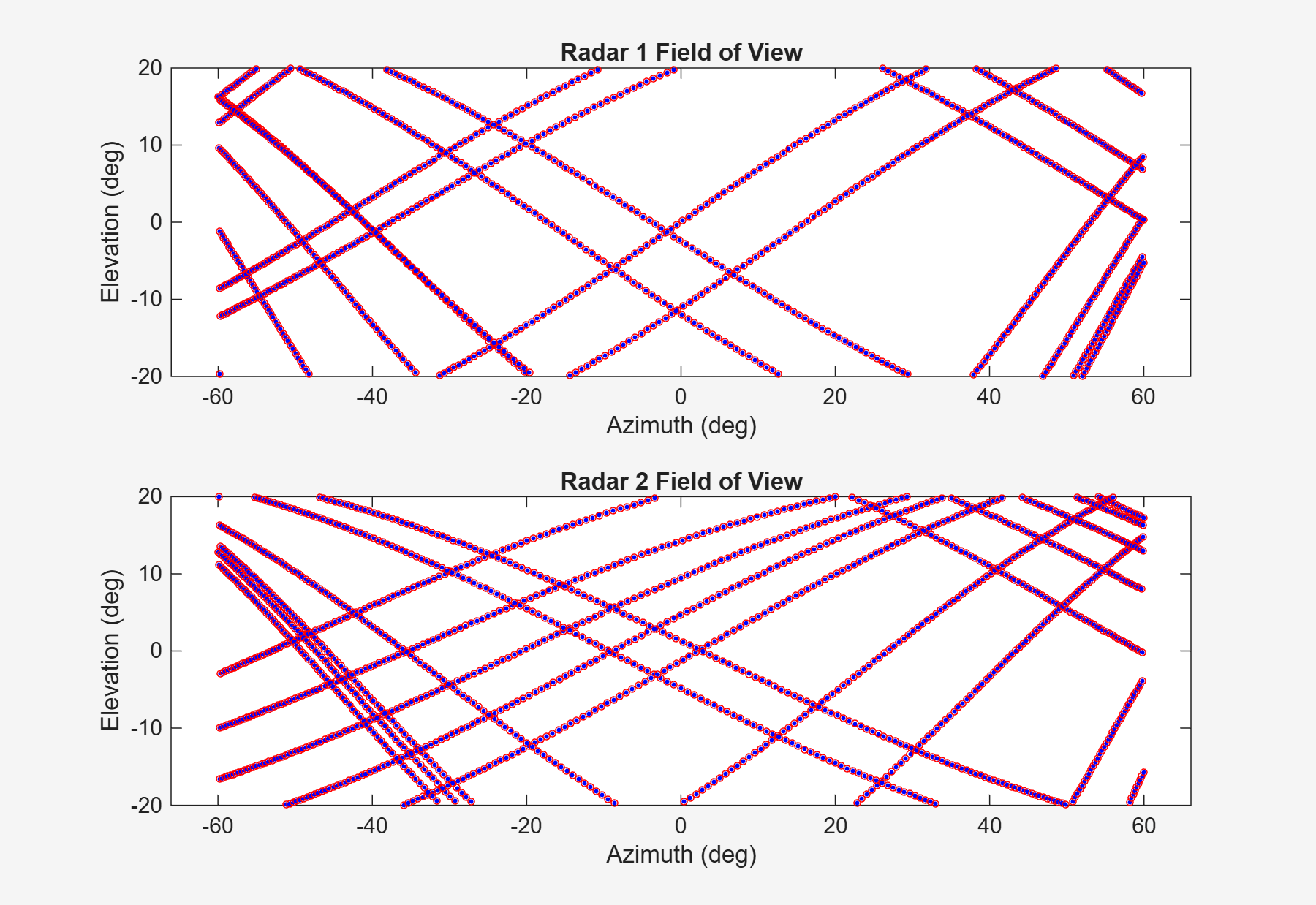
Detect and Track LEO Satellite Constellation with Ground Radars
Import a Two-Line Element (TLE) file of a satellite constellation, simulate radar detections of the constellation, and track the constellation.
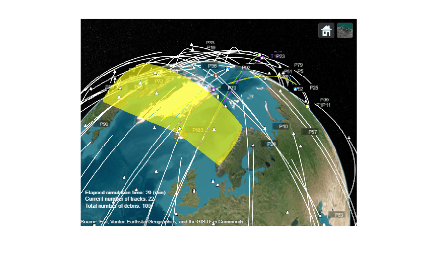
Track Space Debris Using a Keplerian Motion Model
Track simulated space debris using ground-based radar detections and a task-oriented multi-object tracker with Keplerian motion models.
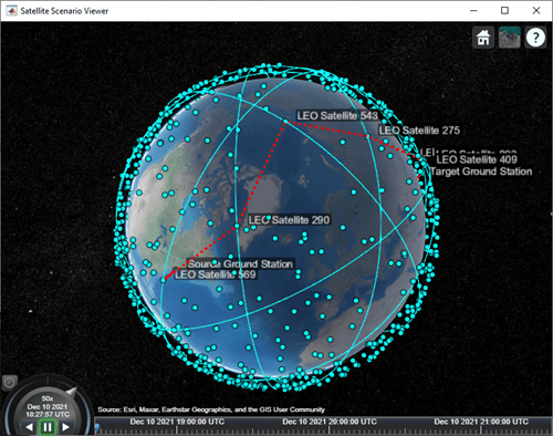
Multi-Hop Path Selection Through Large Satellite Constellation
Determine the path through a large constellation.
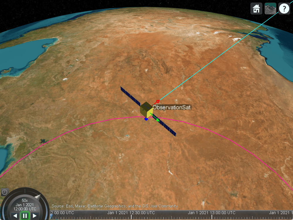
Modeling Custom Satellite Attitude and Gimbal Steering
Point satellite or gimbal in satellite scenario using logged orientation data from
timetable or timeseries.
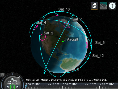
Analyze Access Between a Satellite Constellation and an Aircraft
Model an aircraft trajectory and a Walker-Delta satellite constellation using Aerospace Toolbox, and analyze and visualize the computed access between the aircraft and satellite constellation.
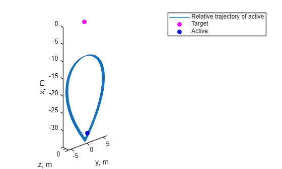
Modeling Station-Keeping Using Impulsive Maneuvers
Model station keeping for a satellite using impulsive maneuvers in a satellite scenario.
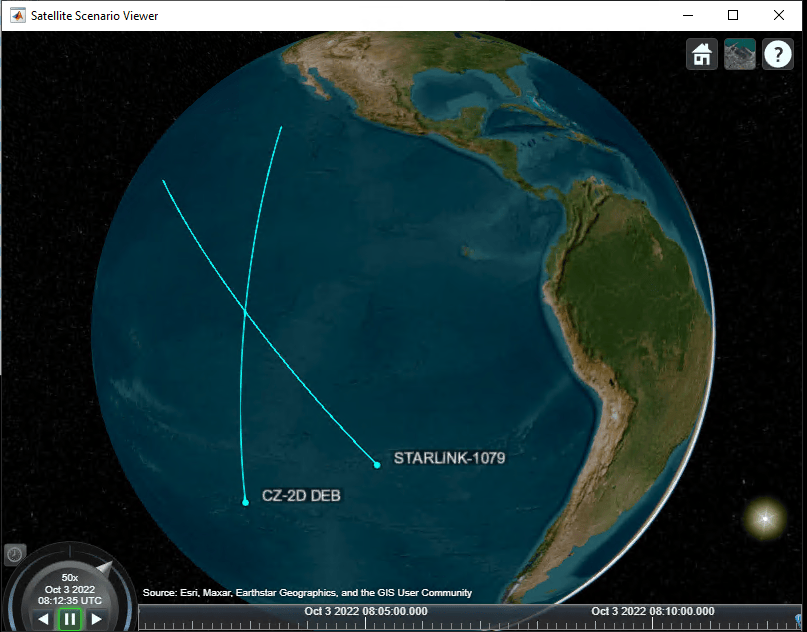
Satellite Conjunction Finder
Find potential events of close proximity or conjunctions of two satellites.
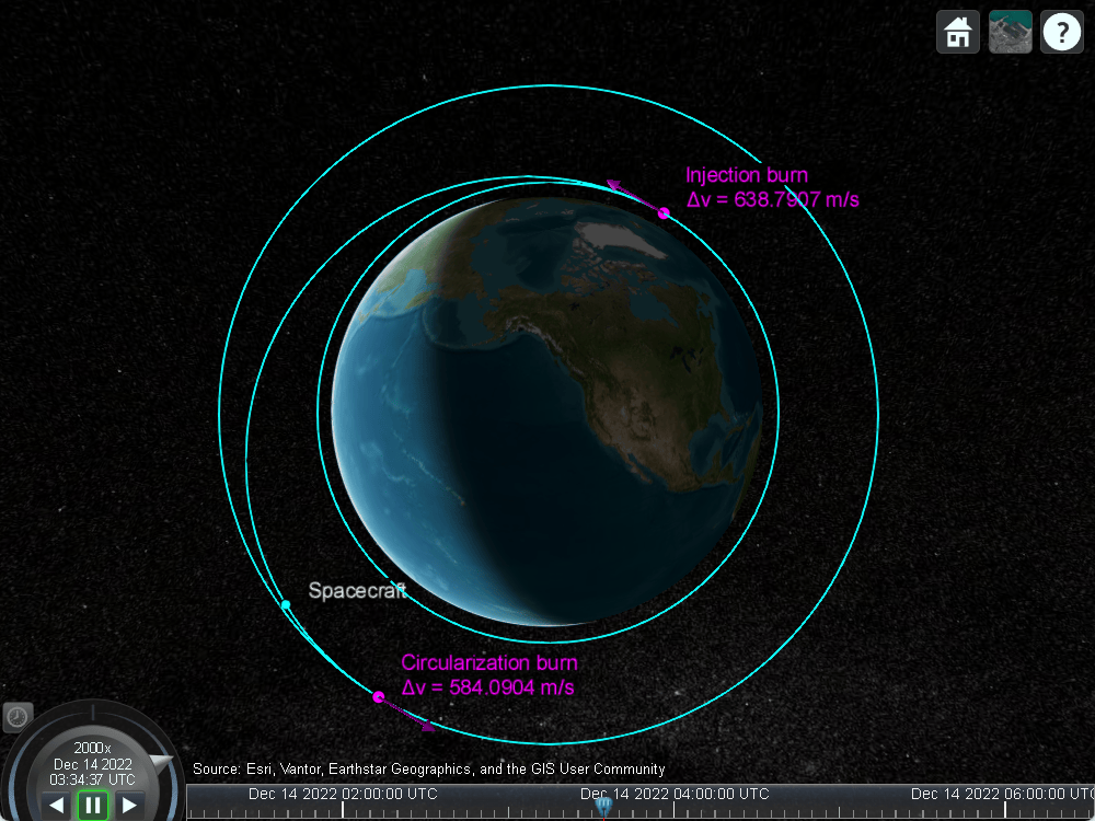
Simulate Hohmann Transfer in Satellite Scenario Using Impulsive Maneuvers
Simulate Hohmann Transfer using Impulsive Maneuvers.
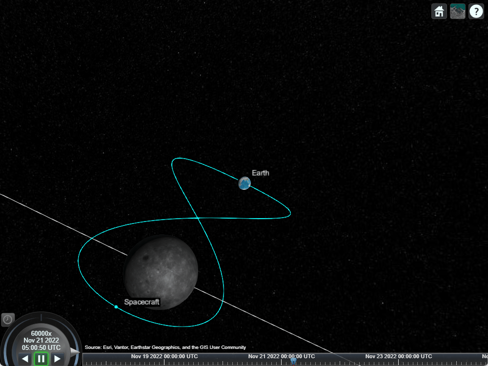
Model a Lunar Free-Return Trajectory in Satellite Scenario Using Numerical Orbit Propagation
Simulate a lunar free return trajectory using satellite scenario.
MATLAB Command
You clicked a link that corresponds to this MATLAB command:
Run the command by entering it in the MATLAB Command Window. Web browsers do not support MATLAB commands.
选择网站
选择网站以获取翻译的可用内容,以及查看当地活动和优惠。根据您的位置,我们建议您选择:。
您也可以从以下列表中选择网站:
如何获得最佳网站性能
选择中国网站(中文或英文)以获得最佳网站性能。其他 MathWorks 国家/地区网站并未针对您所在位置的访问进行优化。
美洲
- América Latina (Español)
- Canada (English)
- United States (English)
欧洲
- Belgium (English)
- Denmark (English)
- Deutschland (Deutsch)
- España (Español)
- Finland (English)
- France (Français)
- Ireland (English)
- Italia (Italiano)
- Luxembourg (English)
- Netherlands (English)
- Norway (English)
- Österreich (Deutsch)
- Portugal (English)
- Sweden (English)
- Switzerland
- United Kingdom (English)


