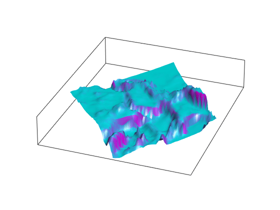
Raster Data
Raster data, also known as data grids, stores map data as matrices. Regular data grids require a reference object that describes the sampling and location of the data points. Geolocated data grids explicitly identify the latitude and longitude coordinates of all rows and columns.
Functions
Objects
GeographicCellsReference | Reference raster cells to geographic coordinates |
GeographicPostingsReference | Reference raster postings to geographic coordinates |
MapCellsReference | Reference raster cells to map coordinates |
MapPostingsReference | Reference raster postings to map coordinates |
Topics
Introduction to Raster Data
- Raster Geodata
Raster geodata represents map data in matrix format. - Georeferenced Raster Data
Each element of georeferenced raster data corresponds to a defined quadrangle of territory on a planet.
Regular Data Grids
- Reference Raster Data Using Geographic or World Limits
When your raster data file does not contain referencing information, you can convert the geographic or world limits of the data into a raster reference object. - Reference Regularly Spaced Raster Data Using Coordinates
Convert raster data represented by regularly-spaced coordinates into an array and a raster reference object. (Since R2026a) - Reference Scattered Raster Data Using Interpolation
Convert scattered raster data into an array and a raster reference object by interpolating the data. (Since R2026a) - Merge Multiple Raster Tiles Using Datastore
Merge multiple raster tiles from data sets such as DTED, GTOPO30, or GLOBE DEM by using a custom datastore.
Geolocated Data Grids
- Geolocated Data Grids
A geolocated data grid is defined by three matrices giving latitude and longitude coordinates and indices associated with the mapped region. - Geographic Interpretations of Geolocated Grids
The dimensions of a map matrix and associated latitude and longitude matrices determines the interpretation of the geographic map data.
Featured Examples
Combine Dissimilar Grids by Converting Regular Grid to Geolocated Data Grid
Combine an elevation data grid and an attribute data grid that cover the same region but are gridded differently.
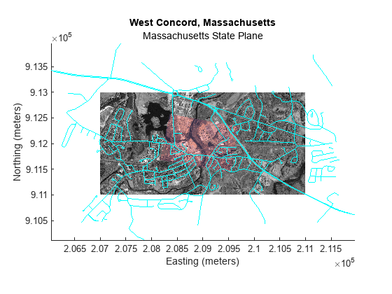
Georeference an Image to an Orthotile Base Layer
Register an image to an earth coordinate system and create a new georeferenced image (requires Image Processing Toolbox™).
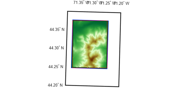
Unproject a Digital Elevation Model (DEM)
How to convert a USGS DEM into a regular latitude-longitude grid having comparable spatial resolution.