栅格数据
对网格化数据进行地理配准、分析和转换
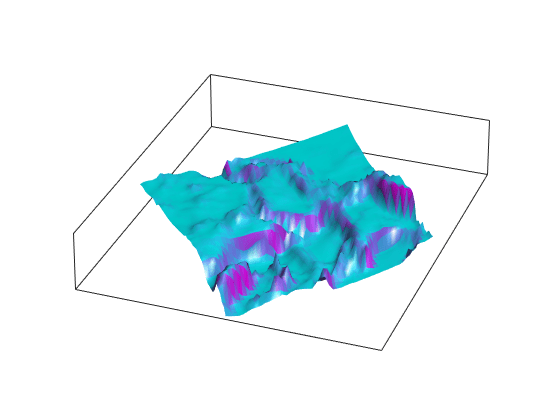
栅格数据(也称为数据网格)将地图数据以矩阵形式存储。常规数据网格需要一个引用对象、向量或矩阵来描述数据点的采样和位置。地理定位数据网格明确标识所有行和列的经纬度坐标。
函数
对象
GeographicCellsReference | 将参考栅格单元转换为地理坐标 |
GeographicPostingsReference | Reference raster postings to geographic coordinates |
MapCellsReference | Reference raster cells to map coordinates |
MapPostingsReference | Reference raster postings to map coordinates |
主题
栅格格式地理数据简介
- Raster Geodata
Raster geodata represents map data in matrix format. - Georeferenced Raster Data
Each element of georeferenced raster data corresponds to a defined quadrangle of territory on a planet. - Reference Raster Data Using Geographic or World Limits
When your raster data file does not contain referencing information, you can convert the geographic or world limits of the data into a raster reference object. - Merge Multiple Raster Tiles Using Datastore
Merge multiple raster tiles from data sets such as DTED, GTOPO30, or GLOBE DEM by using a custom datastore.
常规数据网格
地理定位数据网格
- Geolocated Data Grids
A geolocated data grid is defined by three matrices giving latitude and longitude coordinates and indices associated with the mapped region. - Geographic Interpretations of Geolocated Grids
The dimensions of a map matrix and associated latitude and longitude matrices determines the interpretation of the geographic map data.
网格化地理数据的应用
精选示例
Combine Dissimilar Grids by Converting Regular Grid to Geolocated Data Grid
Combine an elevation data grid and an attribute data grid that cover the same region but are gridded differently.
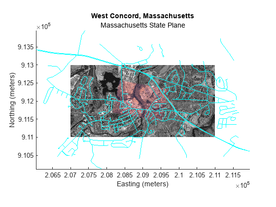
Georeference an Image to an Orthotile Base Layer
Register an image to an earth coordinate system and create a new georeferenced image (requires Image Processing Toolbox™).
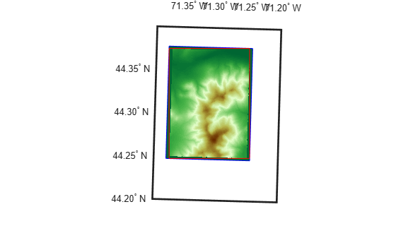
Unproject a Digital Elevation Model (DEM)
How to convert a USGS DEM into a regular latitude-longitude grid having comparable spatial resolution.